 Willow Aliento
Heat warning issued for the world
The briefing: a selection of the latest research, reports and commentary mapping the escalating trajectory of climate change.

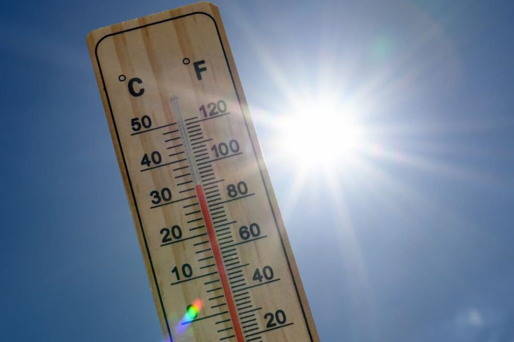
The word “unprecedented” is being seen in headlines across the Northern Hemisphere again, as extreme heat affects the UK, Europe, Canada, the USA and North and Western Asia. The International Energy Agency released commentary showing that in India, the extreme heat lasting well into the night is causing energy demand issues, as peak cooling demand extends well past sundown, meaning solar PV cannot help keep up supply.
“The dual challenge of meeting electricity demand as populations, incomes and temperatures rise, while also ensuring the stability and resilience of grids, has been highlighted by conditions in recent days,” said Thomas Spencer, IEA Senior Energy Analyst and Anthony Vautrin, IEA Energy Modeller in a statement issued on June 3, 2026.
“Northwest and Central India have sweltered under an extreme heatwave since mid-May, with daytime maximum temperatures in the range of 40-47°C and some locations recording temperatures as high as 48°C,” they stated.
Electricity demand soared to a peak of 270 gigawatts (GW) on May 21, 2026.
“For comparison, in 2019, peak power demand reached around 180GW – meaning that the increase over the past seven years alone is more than France’s peak power demand today,” stated the authors.
“And while India’s summer peak is typically reached during the day, demand rises sharply again at night as people turn on air conditioners.”
The IEA article noted that as more households in India are able to afford air conditioning to stay cool, there has been a year-on-year average rise in energy demand of 5% per year since 2019. New solar PV and other additional power generation coming online has been able to keep pace, however, the current heatwave has tested the limits of the system.
Part of the reason is night-time temperatures have been rising twice as fast as daytime temperatures, due to the impact of the urban heat island effect.
“For comparison, the hottest nighttime temperatures experienced by people in India are on average around 2 degrees hotter than in Texas and nearly 8 degrees hotter than in California,” the authors stated.
“Access to cooling in India is still not universal, with around one in five households owning an air conditioning unit. Yet by 2035, based on today’s policy settings, the IEA projects that cooling demand in India will more than double as incomes rise and temperatures increase.”
- Read the complete analysis and the IEA suggestions for adaptation strategies for the energy system here.

More where that came from – for all of us
According to the latest World Meteorological Organization forecast report, the data shows there is an 80% chance that at least one of the next five years will exceed 2024 as the warmest year on record. There is also an 86% chance that at least one or more years between now and 2030 will be more than 1.5°C above the 1850–1900 average temperature.
The update is produced by the UK’s Met Office, and is a synthesis of predictions from WMO-designated Global Producing Centres and other contributing centres. The report is used to inform policy and climate science decisions.
“We have just experienced the ten warmest years on record,” says WMO Deputy Secretary-General Ko Barrett.
“Unfortunately, this WMO report provides no sign of respite over the coming years, and this means that there will be a growing negative impact on our economies, our daily lives, our ecosystems and our planet. Continued climate monitoring and prediction is essential to provide decision-makers with science-based tools and information to help us adapt.”
The report also states that arctic warming will continue to accelerate at a faster pace than the global average, and that precipitation pattern changes are showing significant regional variations.
El Niño – how bad might it be?
The United Nations Disaster Risk Reduction (UNDRR) agency has reported that a new index for measuring the strength of an El Niño event has been released by the European Centre for Medium-Range Weather Forecasts (ECMWF).
Previous measurements of El Niño have relied on comparisons between surface sea temperatures and historical baselines. The new approach, known as the Relative Niño index, compares warming in the central Pacific with temperatures across the wider tropics. This is a more climate-informed approach, according to the UNDRR.
“As the climate warms, interpreting anomalies becomes more challenging,” says Dr Tim Stockdale, principal scientist at ECMWF.
“Rising background temperatures can make recent El Niño events appear stronger than they are, and La Niña events seem weaker. The new Relative El Niño indices compare the Niño 3.4 and other regions with the overall temperature of the tropics at the same time, offering a perspective that is less sensitive to long-term warming. This will provide an additional tool for describing the likely strength of an upcoming El Niño event. Even with this adjustment, the strength of the forecasts suggests that El Niño may be unusually strong later in the year.”
- Read more about the index here
Adaptation begins with knowledge
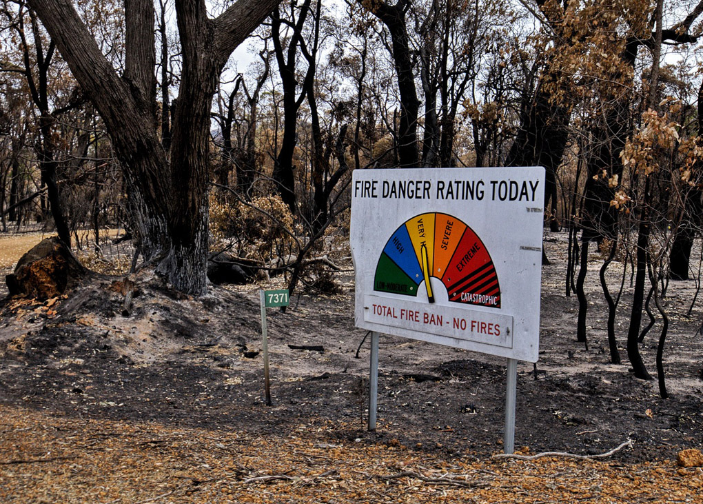
While data gives us evidence of climate change, it is the physical effects in the form of extreme heat, storms, sea level rise, drought, and impacts across social, ecological and economic systems where it really hits home.
Kamal Kishore, Special Representative of the United Nations Secretary-General for Disaster Risk Reduction, has just published an article at PreventionWeb, A “Super El Niño” would be a test for our disaster risk governance systems.
Kishore writes that, “News media is rife with stories about the likely onset of a ‘super El Niño’ and the widespread impacts it could have on communities and countries across the world”.
“In light of current disruptions in supply chains, shortages of agricultural inputs, and existing economic stresses, such an event would introduce major alterations to rainfall patterns in some regions into an already dangerous mix of vulnerabilities.”
“These impacts are not inevitable.”
Find out why here.
PREV
NEXT
Comments
Advertisements

Recent news
- Innovation for HVAC decarbonisation
- Changes planned for heating and cooling incentives
- New appointment at Next Cycle
Latest events
- The Australasian Renewable Heat Conference
- NABERS to explore energy flexibility
- Sustainable House Day series: Retrofitting the 70s
Leave a Reply